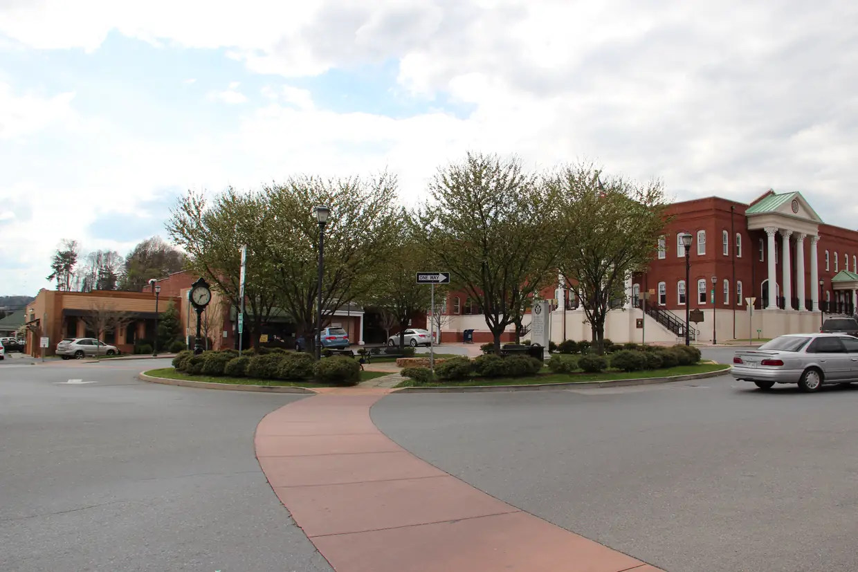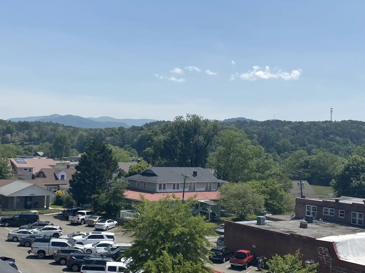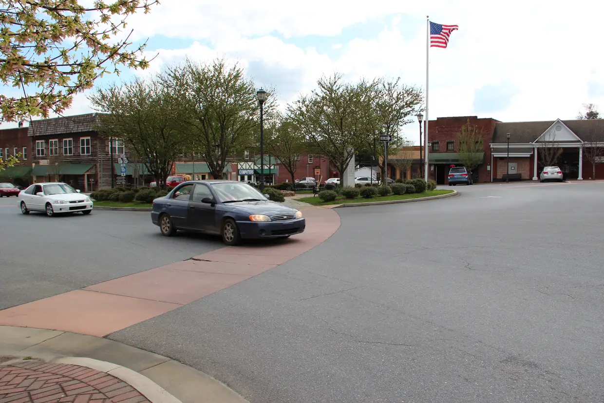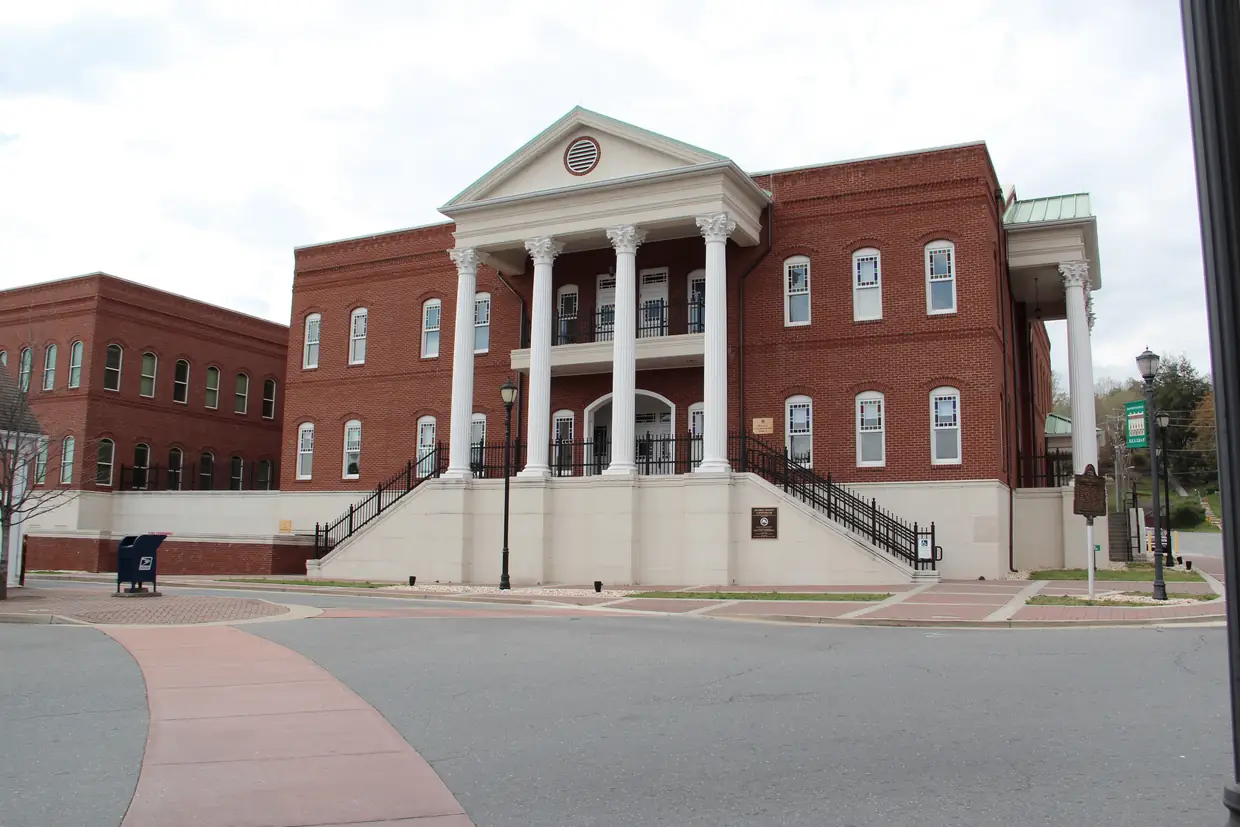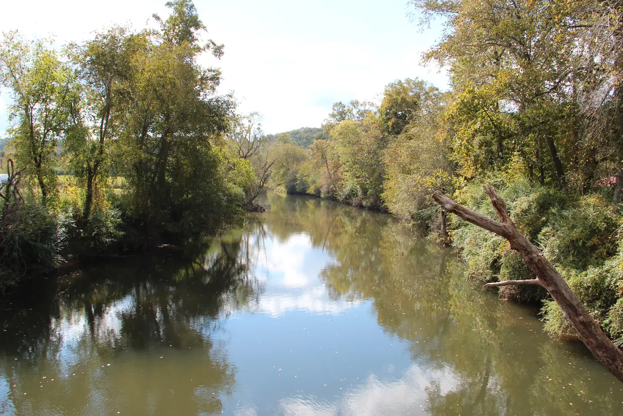
Ellijay is a three-river town. The City of Ellijay puts it plainly: the town lies between the Ellijay and Cartecay rivers, where they join to form the Coosawattee River. Follow that water west and you reach Carters Lake and Carters Dam.
This guide walks downstream, using what the city, the U.S. Army Corps of Engineers and the river records say, and leaving out what they don’t.
Two rivers in, one river out
| River | Length (about) | What it does near Ellijay |
|---|---|---|
| Ellijay River | 15.1 miles | Ends at its confluence with the Cartecay in Ellijay |
| Cartecay River | 19.1 miles | Rises in the Chattahoochee National Forest and runs mostly east to west beside GA 52 into town |
| Coosawattee River | 49.3 miles | Begins at the confluence and flows west to Carters Lake |
The lengths come from Wikipedia’s articles on the Ellijay River (citing the USGS place-names database), the Cartecay River and the Coosawattee River. The Cartecay article also gives its drainage basin as about 86,734 acres.
The city’s history page says the name Ellijay may come from Indian words meaning “many waters,” “place of green things” or “new ground,” though it calls the origin uncertain. Wikipedia says the Cherokee village was at the confluence of the two rivers, and the city says Cherokee people lived in the area for countless years; in the 1830s, white settlers and Cherokee both lived in Ellijay.
The railroad bridge over the Cartecay
The rivers shaped the town’s growth as well as its name. The city says the railroad bridge over the Cartecay River was finished in 1884, bringing rail service to Ellijay. Hotels followed, along with industries such as a cheese factory and the Shippen Brothers Lumber Mill. The Shippen Brothers Lumber Company exported lumber to Europe and often had five to six million feet of lumber in its yard.
The Coosawattee and “Deliverance”
From the confluence the Coosawattee flows west, feeds Carters Lake, and joins the Conasauga River near New Echota to form the Oostanaula, according to Wikipedia. The same article says James Dickey based the fictional “Cahulawassee River” in his 1970 novel Deliverance on the Coosawattee.
The Corps of Engineers confirms the Coosawattee is the river that feeds Carters Lake.

Carters Lake by the numbers
The U.S. Army Corps of Engineers, Mobile District runs Carters Lake. Its figures:
- 3,200 acres of water and 62 miles of shoreline.
- An average depth of 200 feet, with parts more than 450 feet deep, making it the deepest of Georgia’s reservoir lakes.
- Camping, boating, fishing and hunting.
The Corps says the lake is named for 19th-century Georgia politician “Farrish Carter Tate.” Other sources spell the name differently, so that’s the agency’s wording, not ours.
Wikipedia says the shoreline has no private docks or development. If you’re shopping for “lake property” in Gilmer County, that’s worth knowing before you look at Carters Lake listings: check the Corps’ rules for any parcel near the shore.
Carters Dam
Carters Dam was finished in 1977. The Corps calls it the tallest earthen dam east of the Mississippi and says it controls flooding and generates power. Wikipedia gives its height as 445 feet. The dam is in Murray County, west of Gilmer, and the Carters Lake Project Office is at 975 Powerhouse Rd., Chatsworth, GA 30705, (706) 334-2248.
Visiting the lake: fees and areas
The Corps’ Carters Lake parks page lists eight day-use areas: Woodring Branch, Doll Mountain, Harris Branch, Ridgeway, the North and South Re-regulation Areas, North Bank, Damsite and the Visitor Center. Most charge $5 per vehicle, and you pay by credit or debit card only at automated machines. Bring a card, not cash. Group picnic shelters can be reserved on Recreation.gov, at $30 for a small shelter and $50 for a large one.
For trails, the Corps’ hiking and biking page lists:
- Ridgeway mountain bike loop: about 6 miles, in Ridgeway Park.
- Amadahy Trail: a 4-mile loop at Woodring Branch, for all skill levels, with lake views.
- Tumbling Waters Nature Trail: 0.35 mile one way in Ridgeway, ending at an overlook of the Tails Creek cascades.
ATVs are banned on all trails. The Corps also notes that bow hunters use the trails during hunting season, which is a good reason to wear bright colors in the fall.
For overnight stays, the Corps’ camping page lists Woodring Branch, with 42 sites (31 with electric and water) plus an 11-site primitive area open year-round at $10 a night, and Doll Mountain, with 65 sites (39 with hookups). Hookup sites run $24 to $28 a night and non-hookup sites $18. Reserve on Recreation.gov or at (877) 444-6777.
What’s closed in the fall
- Harris Branch beach is open Memorial Day weekend through Labor Day only. It has no lifeguards, and pets and alcohol aren’t allowed on the beach. The 2026 beach season is over.
- Tubing on the Cartecay. Cartecay River Experience, which rents tubes and kayaks at 2400 Hwy 52 East, is open Memorial Day to Labor Day, so it’s closed for the season in October. Its Adventure River put-in is at 1554 Lower Cartecay Rd. The outfitter asks visitors to call first to make sure it’s open, which is good advice for next summer too.
How far is it from the square?
We don’t know, and neither the Corps nor any source we checked publishes a drive time from downtown Ellijay to Carters Lake or the dam. Use a map app from your starting point, and allow extra time on festival weekends.
For the river where it starts, stay downtown: the confluence is in the city. Our things to do page lists more outings around Ellijay.
Questions people ask
Which rivers meet in Ellijay?
The Ellijay and Cartecay rivers meet in Ellijay and join to form the Coosawattee River. The City of Ellijay says the town sits between the two rivers at that confluence.
How deep is Carters Lake?
The U.S. Army Corps of Engineers says Carters Lake averages 200 feet deep, with parts more than 450 feet deep, making it the deepest of Georgia's reservoir lakes. It covers 3,200 acres with 62 miles of shoreline.
How much does it cost to visit Carters Lake?
Most Carters Lake day-use areas charge $5 per vehicle, paid by credit or debit card only at automated machines. Campsites cost extra: $24 to $28 a night with hookups, $18 without and $10 in the Woodring Branch primitive area.
Is the beach at Carters Lake open in October?
No. The public beach at Harris Branch Park is open Memorial Day weekend through Labor Day only. It has no lifeguards, and pets and alcohol are not allowed on the beach.
Is the Coosawattee the river from Deliverance?
James Dickey based the fictional Cahulawassee River in his 1970 novel Deliverance on the Coosawattee River, according to Wikipedia's article on the river.
Source: Wikipedia – Coosawattee River
Written by the Downtown Ellijay Editorial Team. AI tools help us draft; people check every fact before it publishes.
Dates, hours and fees change. For anything official, the city has the final word: City of Ellijay official site